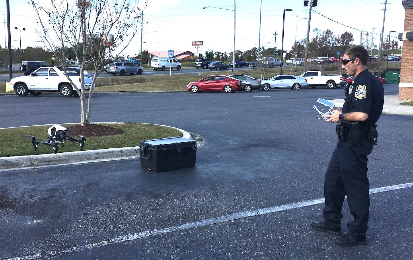
![Crestview Police Officer Mario Werth lands the agency’s drone, having used the aircraft to map the scene of a fatal traffic accident. [BRIAN HUGHES | Crestview Police Department]](http://127.0.0.1/wordpress/wp-content/uploads/2022/01/ghows-DA-5fc38117-7556-36e4-e053-0100007fddc7-12793abd.jpeg)
CRESTVIEW — Not long ago, it would take two or more police officers armed with cameras and measuring tapes an hour or more to map an accident scene.
If traffic were heavy, travel lanes or an entire road might even have had to be blocked, requiring an additional officer or two to perform traffic control duties.
Using the agency drone, Crestview Police Officer Mario Werth, one of the Police Department’s three FAA-licensed drone pilots, mapped the scene of a Nov. 30 pedestrian fatality in less than 10 minutes while not interrupting traffic or having to take fellow officers from their patrols.
Flying two-, three- or four-minute missions, Werth assembled critical data necessary for meeting state statues requiring the detailed mapping of a fatal accident site. No motorist was inconvenienced due to the drone’s use and few drivers even realized a police operation was underway.
"Data that used to take sometimes hours to obtain, with the use of the drone we can do it in only a couple of minutes," Werth said.
Few Crestview Police officers appreciate the value of a bird’s eye view of a crime scene more than Werth, who is also a licensed helicopter pilot and gives flying lessons on his off-time.
Before joining the Police Department, he instructed the agency’s other two licensed drone pilots and prepared them for their FAA licensing exam.
Besides obvious applications such as monitoring crime scenes, pursuing criminals and searching for missing people, mapping crime or accident scenes is another way the lightweight pilotless aircraft benefits local law enforcement.
"It’s a valuable tool for us and for our citizens, because our officers aren’t tied up and can respond immediately to calls," Werth said.
"We have more officers on the street."


This article originally appeared on Crestview News Bulletin: 'A valuable tool for us and our citizens’
